Cape Blanco

view south from Cape Blanco

view south from Cape Blanco

Is it possible to grow tired of these coastal views? I don’t think so. Next stop on our itinerary: Cape Blanco, the westernmost point on the Oregon coast. (You know I have to chase down those superlatives!)

Cape Blanco lighthouse

Cape Blanco lighthouse

According to Fodor’s, this lighthouse sits 245 feet above the ocean and is the longest continuously operating lighthouse in Oregon (another superlative!). Its beacon has been guiding ships since 1870.

Port Orford

view from Port Orford Headland

view from Port Orford Headland

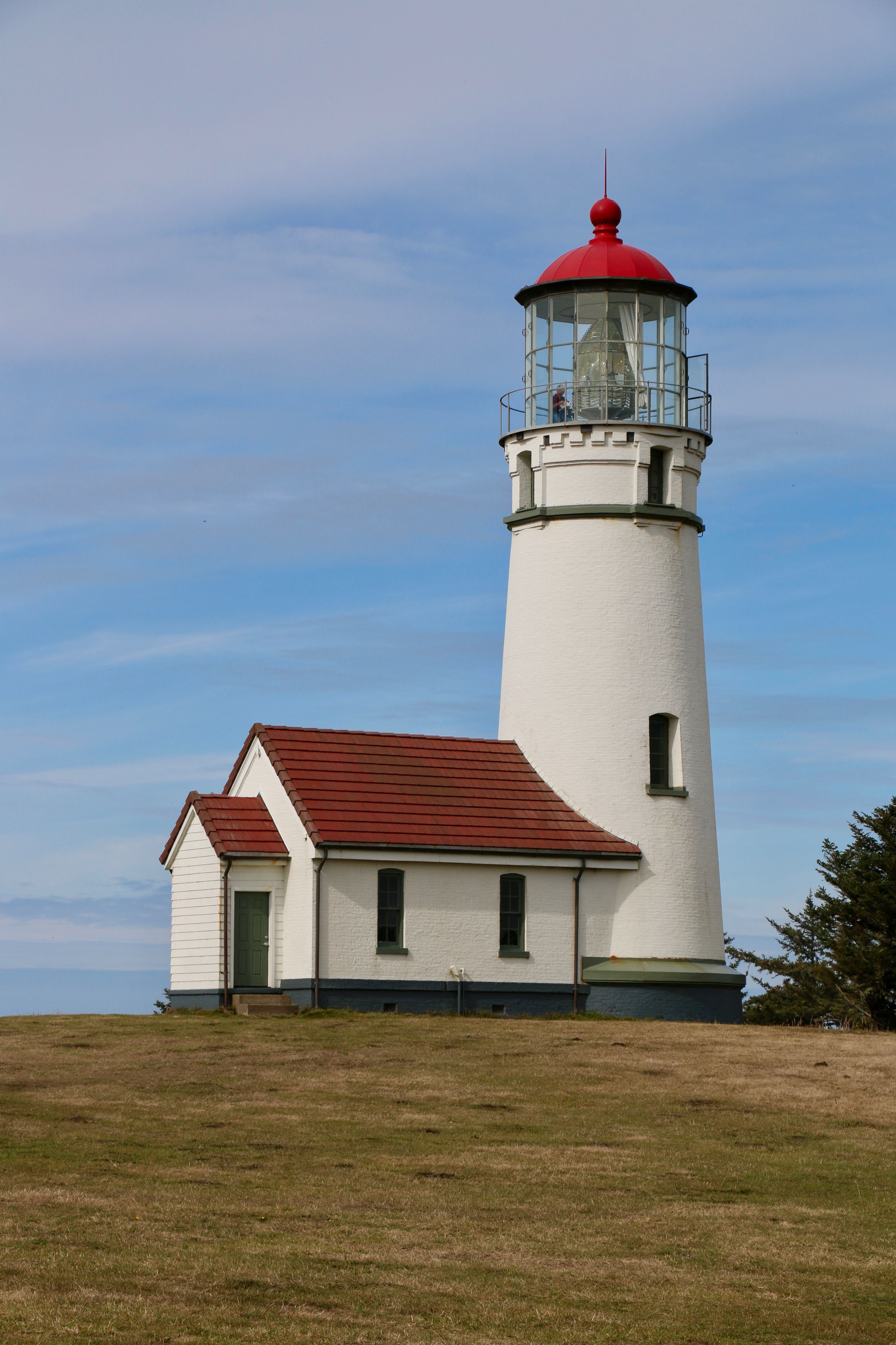
Very aggressive itinerary on our relocation from Gold Beach to Newport. 185 miles on the Oregon Coast Highway (US 101). It takes approximately four hours just to drive it, but we had stops to make—important stops. This is one of the most scenic stretches of the Oregon coast. Only the most serious players qualified.

First stop: Port Orford Heads State Park. Now, don’t laugh at the State Park title. In Florida, a state park is any scrub palmetto with a fire ring next to it. Oregon state parks are worthy of national park status by a Floridian’s standards. In Oregon, you can pitch your tent next to the Pacific Ocean, or a waterfall, or a volcano, or the Cascadia Subduction Zone. (Just kidding. In Oregon it’s illegal to camp where tectonic plates collide. Some environmental thing, I guess.) State parks in Oregon are very cool.

Nellie's Cove from Port Orford Headland

Nellie’s Cove from Port Orford Headland

So, back to Port Orford. The headlands alone are worth the short hike, but as we gazed out at the Pacific from our incredible vantage point we spotted gray whales frolicking in the kelp beds below, getting their fill of krill. That alone would have made my day. I have never seen whales without paying a minor fortune, dressing up in a very unflattering one-piece neon-yellow suit, and getting bounced around in a 26-foot Zodiac for three hours. Yes, the orcas were amazing, but that was one step above Sea World compared to discovering whales on your own.

gray whale off Port Orford

gray whale off Port Orford

There's the fluke!

There’s the tail!

Then we saw the seals, or sea lions. I would like to know the difference, but the Oregonians I have asked can’t tell me. They mumble something about the color. All I know is there are two varieties of each: harbor and elephant seals, and California and Steller sea lions. So we saw some of those, just lying around on the rocks in the sun like slugs. I’ve felt that way after a very large meal, only instead of a wet, slippery rock, I prefer an overstuffed sofa. But I get the sun thing. I only wonder if their dermatologists know how much time they spend on that rock.

seals or sea lions?

seals or sea lions?

And then Marcus spotted a ginormous four-legged mammal grazing on the ridge a quarter-mile away, its profile so perfectly silhouetted against the sky that I expected to hear David Attenborough describing the autumnal dietary habits of Cervus canadensis roosevelti, the Olympic elk often seen in these parts. It had to be an elk for us to be able to see it so clearly on the ridge at that distance. We hurried down the trail, hoping to get a closer look. And we did! It was a common mule deer. Dang! Must have been a light and mirrors thing. I think I saw her snicker as we moved on.

Canadensis roosevelti?

Cervus canadensis roosevelti?

Nope! Mule deer.

Nope! Mule deer.

So a short hike on our itinerary turned into a wildlife display that took half the morning because, frankly, I had a hard time tearing myself away. Some of the best things happen when you least expect them. Just be ready to abandon the plan and go with the moment.

Gold Beach

looking at Gold Beach, across the Rogue River

looking at Gold Beach, across the Rogue River

Gold Beach, the town we are currently staying in for a couple of nights, is on the south bank of the mouth of the mighty Rogue River–a certified Wild and Scenic River. You may remember we hiked above the Rogue in Medford (Lower Table Rock).

the Pacific Coast Highway bridge over the Rogue River

the Pacific Coast Highway bridge over the Rogue River

Unlike Florida, where they spend considerable money to keep the inlets dredged for commercial and pleasure fishing boats, sand builds up across the mouths of several rivers we have seen. It’s not until the Fall rains or the Spring snowmelt flood the river that there is enough volume to overcome the sandbar and go out to sea.

the sandbar that separates river from ocean, for now

the sandbar that separates river from ocean, for now

You have to love a town that provides shelter for its homeless cats and dogs.

03-homeless

The southern Oregon coast

We didn’t want to miss a bit of the Oregon coast, so we dipped down into California on our way here from southern Oregon to begin at the beginning of Oregon’s Pacific Coast Highway. Every visitor to Oregon should catch this pristine, quiet corner of the state.

Four words: Samuel Boardman Scenic Corridor – 12 miles of beautatiousness


Ashland

I had to visit Ashland, not only because it is an adorable little town smack-dab in the middle of nowhere, but also because my sister went to college here 50 years ago. I remember going to Ashland with my parents to drop her off. We were about to move to Bangkok, and it was sad to leave her behind. How hard that must have been for her to leave home for the first time with her family so far away. At least she had friends from high school with her in this beautiful town.

Jacksonville, Oregon

Here we are in cute little J’ville. The town is so perfect we felt like we were on a movie set. Lots of cute shops, restaurants, galleries, wine-tasting venues, and even an impressive Halloween-themed show by the local art league. It was fun wandering around pretending like we lived here.


Table Rock

We hiked Lower Table Rock today. Lower Table Rock and Upper Table Rock, across the valley, used to be one mesa, but over the millennia, wind and water have eroded the softer basalt between what is now the two mesas. They appear to be the same elevation to me, so I’m not really sure why one is Lower and the other Upper. Could be because of their orientation on the map. All I know is Lower Table Rock is VERY high, by my hiking standards, and considered a more challenging hike than Upper Table Rock. I was beginning to think we’d never reach the top, especially after the steep switchbacks toward the end of the climb. And then, once we reached the mesa top, we had another mile to go to the far side to get views of the Rogue River and Medford down below. Good hike!

The challenge--Lower Table Rock

The challenge–Lower Table Rock


into the brush

into the brush


Yikes!

Yikes!


curly-boughed oaks

curly-boughed oaks


peeling madrona trees

peeling madrona trees


What kind of tree is this? Anyone?

What kind of tree is this? Love the red bark, but it doesn’t seem to be peeling like the madronas.


We made it to the top! Now just another mile to go....

We made it to the top! Now just another mile to go….


The reward--views of the Rogue River.

The reward–views of the Rogue River.

Crater Lake

We had a stunningly gorgeous day to explore Crater Lake National Park. Crater Lake is in the caldera of a volcano, Mount Mazama, that erupted 7700 years ago. Once the magma chamber inside the volcano was empty, the mountain top collapsed into the chamber creating the caldera. Rain and snow filled the caldera over the centuries to form the lake; there are no rivers, streams, or springs that flow into it. At 1943 feet deep, it is the deepest lake in the United States and the ninth deepest in the world. The extreme depth accounts for the sapphire-blue water.

Here’s a tip: When you enter the park, whether it’s from the north or southwest entrance, drive along the East Rim Drive first. For some reason, everyone wants to see West Rim Drive first, despite heavy traffic backups. We had the East Rim almost to ourselves.

Here’s a sampling of what we saw.